Imagine this scenario: you’re stuck on a boat in the Arctic Ocean in the middle of the night. The winds are howling, the air is frigid, and the boat you’re in is completely encased in ice. Step off the boat and your face is constantly sand-blasted by tiny ice particles. Blink at the wrong time and your eyes freeze shut. The ice may crack under your feet (or between you and the boat) – without notice – leaving icy water between you and the only warm place for hundreds of kilometers. Have to swim for it? Look out for jellyfish. Decide to stay on your crumbling patch of ice? I hear polar bears can get pretty hungry. Death awaits every misstep and every wrong turn. Cowering in the boat? Internet access is limited, there are no re-runs of Friends to keep you entertained, and the shuffleboard court is outside. (Actually, it’s worse than that: there is no shuffleboard court!)
Now imagine this: you actually wanted to be there!
Most people would say, “That’s crazy! I would never do that!” But, for the scientists and crew aboard the research vessel (RV) Lance, it is a unique opportunity to further our understanding of the Arctic and its role in the Earth’s climate system.
You see, we are nearing the mid-point of the N-ICE 2015 field experiment, which is taking place from 1 January to 1 August 2015. The idea behind the experiment is to take a boat, freeze it in the Arctic ice sheet, and constantly monitor the environment around the boat for about six months. A group of scientists work in six-week shifts where they monitor everything from the weather to local biology. Of course, the primary objective is to see what happens with the ice itself.
One of our very own researchers at CIRA (and one of the world’s leading experts on snow) was on board during the first leg of the experiment. So, what is a snow expert doing on a ship whose primary purpose is to study ice?
Here’s the lowdown. There are two types of ice that concern Arctic researchers: “young” and “multi-year”. As the name implies, multi-year ice is ice that survives the summer and lasts for more than one year. Young ice does not reach its first birthday – it melts over the summer. Arctic researchers have been finding out that, not only is the Arctic ice sheet shrinking, it’s lost most of its multi-year ice, which is being replaced by young ice.
Multi-year ice is thicker, more resilient and tends to be brighter (more reflective), while young ice is thinner, darker (less reflective of sunlight), and less resilient. The less sunlight that is reflected, the more sunlight is absorbed into the system and this leads to warming, which melts more ice (and is a positive feedback). The less ice there is, the more open ocean there is, and open water is a lot less reflective than ice, which leads to more absorption of sunlight, more warming, more melting, etc.
The thinner “young ice” breaks up more easily due to wind and waves. This creates more leads of open water. The water, being much warmer than the air above it, pumps heat and moisture into the atmosphere, creating more clouds and snow – just like lake-effect or sea-effect snow. And, while most people have a hard time believing it, snow is a good insulator. Snow on top of the ice will create a blanket that protects the ice from the really cold air above. This reduces the rate at which the ice thickens up, keeping the ice thinner, and we have another positive feedback.
That’s just one of the things being studied on the 2015 Norwegian Young Sea Ice Cruise. Of course, I wouldn’t be mentioning any of this unless VIIRS could provide information to help out with the mission.
Go back to the N-ICE 2015 website. Notice the sliding bar/calendar on the bottom of the map. You can use that to follow the progress of the ship. Or, you can use the VIIRS Day/Night Band.
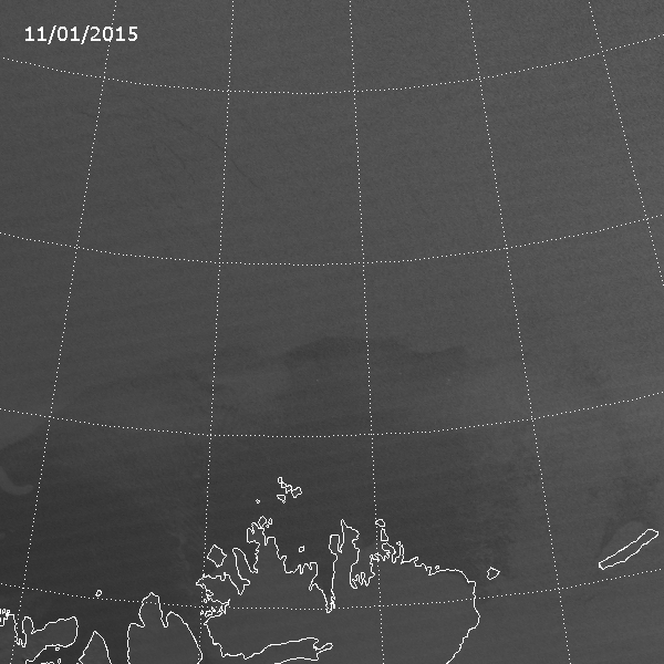
At the time of this writing, the Lance is docked in Longyearbyen, the largest town on the island of Spitsbergen in Norway. (Spitsbergen is part of the Svalbard archipelago, which has a direct connection to VIIRS. Svalbard has a receiving station used by NOAA that collects and distributes data from nearly all of their polar-orbiting satellites.) Longyearbyen is where the RV Lance and Norwegian icebreaker KV Svalbard departed for the Arctic back in mid-January. KV Svalbard escorted the RV Lance into the ice sheet, then returned to Longyearbyen while the Lance froze itself into the ice. See if you can see that in this loop of VIIRS Day/Night Band images from 12 – 17 January 2015:
Notice how the one bright light follows a lead in the ice until it stops. Then the light appears to split in two, with one light source heading back the way it came and the other stuck in the ice. That is the start of N-ICE 2015! The KV Svalbard did its duty. If you look closely, there are also some other boats hanging out in the open water near the edge of the ice sheet during this time.
If you suspect there are jumps in the images you’re right. VIIRS passes over this area every day 6-8 times between 00 and 12 UTC, with no overpasses for the next 12 hours.
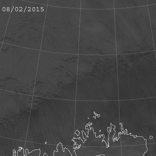
Toward the end of January you can see how the RV Lance drifted to the west along with the ice:
This was all according to plan. But, then, in February, the winds shifted and helped the ice spit the boat back out towards the open water:
After this, the RV Lance needed help from the KV Svalbard to be repositioned in the ice sheet near where it started a month earlier. Otherwise, all the instruments they placed in the ice would no longer be in the ice – they’d be at the bottom of the ocean as the ice sheet broke up all around them.
If you want to know why the ship seems to disappear and reappear every day, you can thank the sun. You see, the first few weeks of the experiment took place during the long polar night. But, by mid-February, twilight began to encroach on the domain during the afternoons. This was enough light to drown out the light from the ship. (Sunrise occurred in early March.)
Another thing to notice with these last two animations: the cloud streets that form over the open water near Svalbard. The direction these cloud streets move gives a pretty good indicator of where the ice is going to go, since both the clouds and icebergs are being pushed and pulled by the same wind.
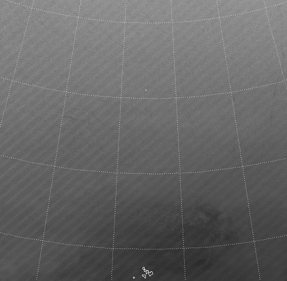
It’s fascinating to watch the movement of the ice over the first 6 weeks of the field experiment. To save on file size and downloading time, the animation below only uses one image per day (between 10 and 11 UTC). Here’s 6 weeks of images in 5 seconds:
And you probably thought of sea ice as being relatively static.
Once again, we lose sight of the RV Lance because of afternoon twilight in mid-February, so we can’t see it or the KV Svalbard after that. And note that there’s a lot less open water near Svalbard by the end of the period.
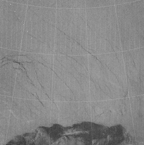
What if we didn’t have the Day/Night Band? You wouldn’t be able to see the ships at all, that’s for sure! Plus, this area was under darkness (no direct sunlight) for this six week period, so none of the other visible wavelength channels will work. That leaves us with the infrared (IR), which looks like this:
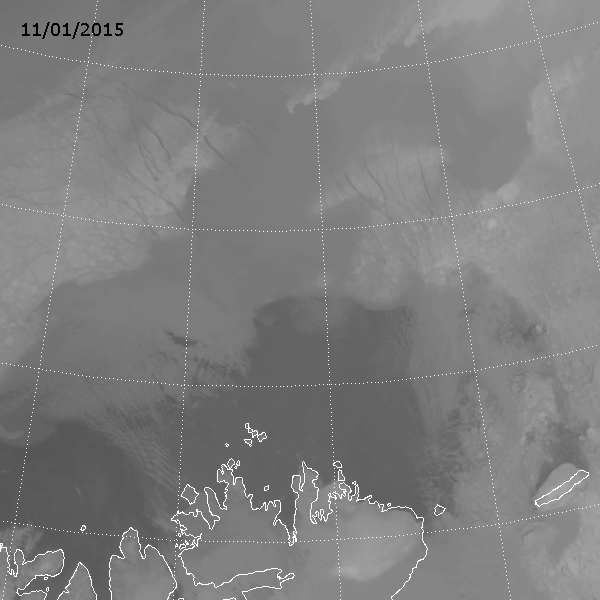
Note that clouds appear to have a greater impact on the detection of ice (and distinction between ice and clouds) in the IR. When it’s relatively cloud-free, there is enough of a temperature contrast between the open water and ice to see the icebergs but, pretty much any cloud will obscure the ice. So, why doesn’t the Day/Night Band have this problem?
That has to do with the optical properties of clouds at visible and IR wavelengths. Most of these clouds are optically thick in the IR and optically thin in the visible. The Day/Night Band can see through these clouds (most of them, anyway) while channels like M-15 (10.7 µm) shown here, can’t. We’ve seen more extreme examples of this before.
In the rapidly changing Arctic, it is nice to know that there are a few dedicated individuals who risk frostbite, hypothermia and polar bears to provide valuable information on how the ice impacts the environment both locally and globally. Me: I’ll just stick to analyzing satellite data from my nice, comfortable office, thank you.
By the way, the N-ICE field experiment has it’s own blog, and pictures and other snippets of information about the people and progress of the mission are regularly posted to Instagram, Facebook and Twitter.