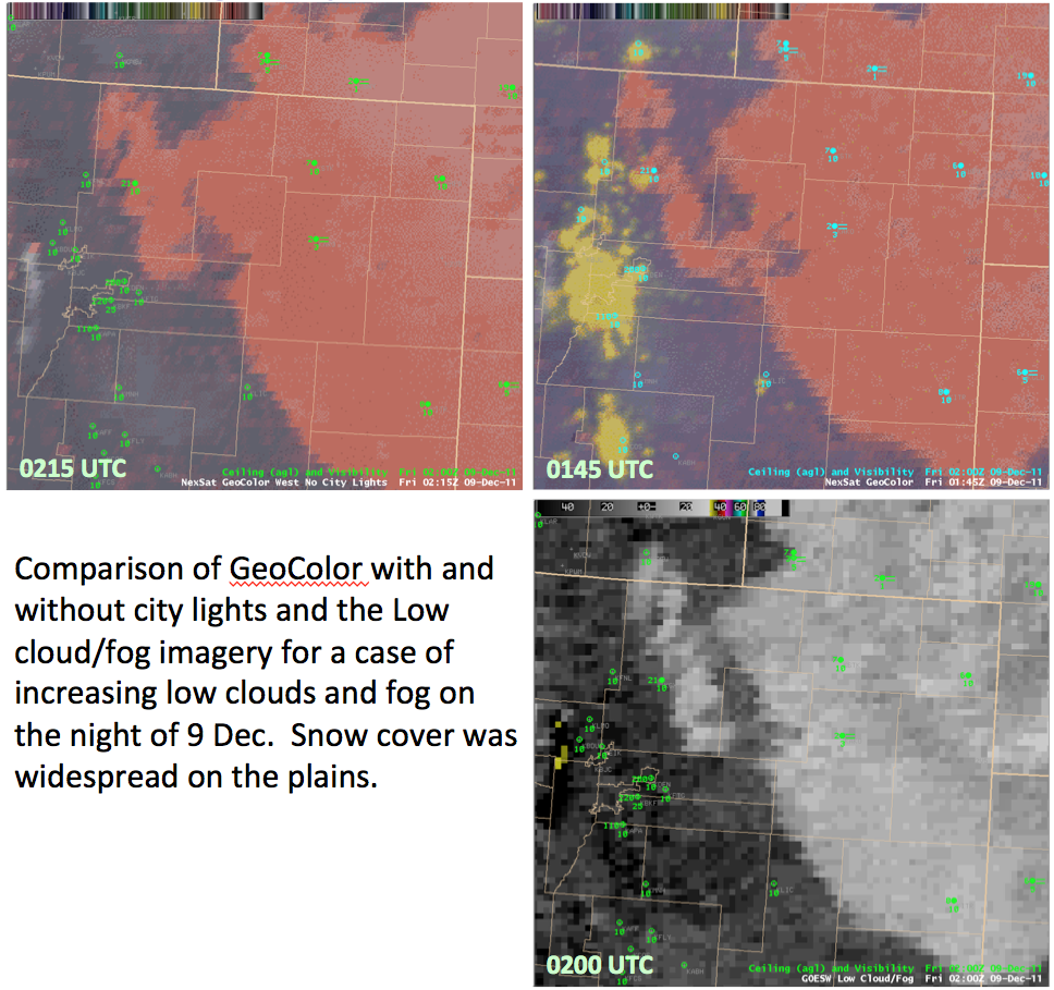
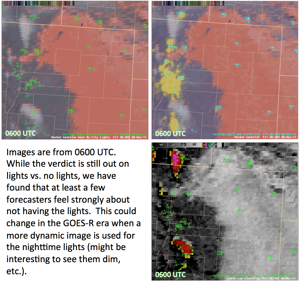
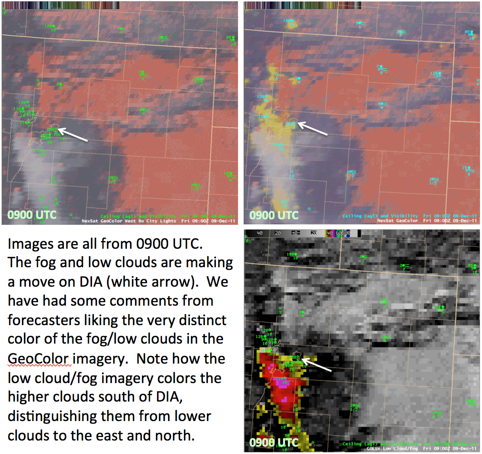
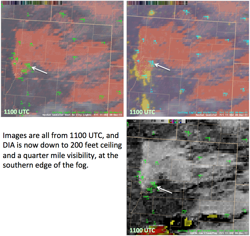
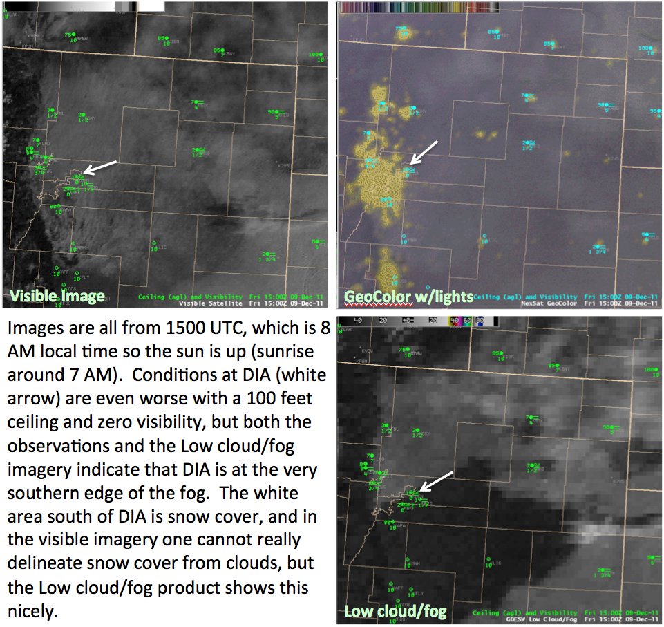
GeoColor and Low cloud/Fog GOES-R Proving Ground imagery from CIRA has been available at the Boulder WFO for several years. After feedback from the forecasters, recently GeoColor imagery without the city lights was added. This example shows both types of GeoColor imagery along with the Low Cloud/Fog product for a case of expanding low clouds and fog that eventually moved over the Denver International Airport (DIA) during the night into the early morning hours of 9 December 2010. Images for several different times, with comments, are shown below.