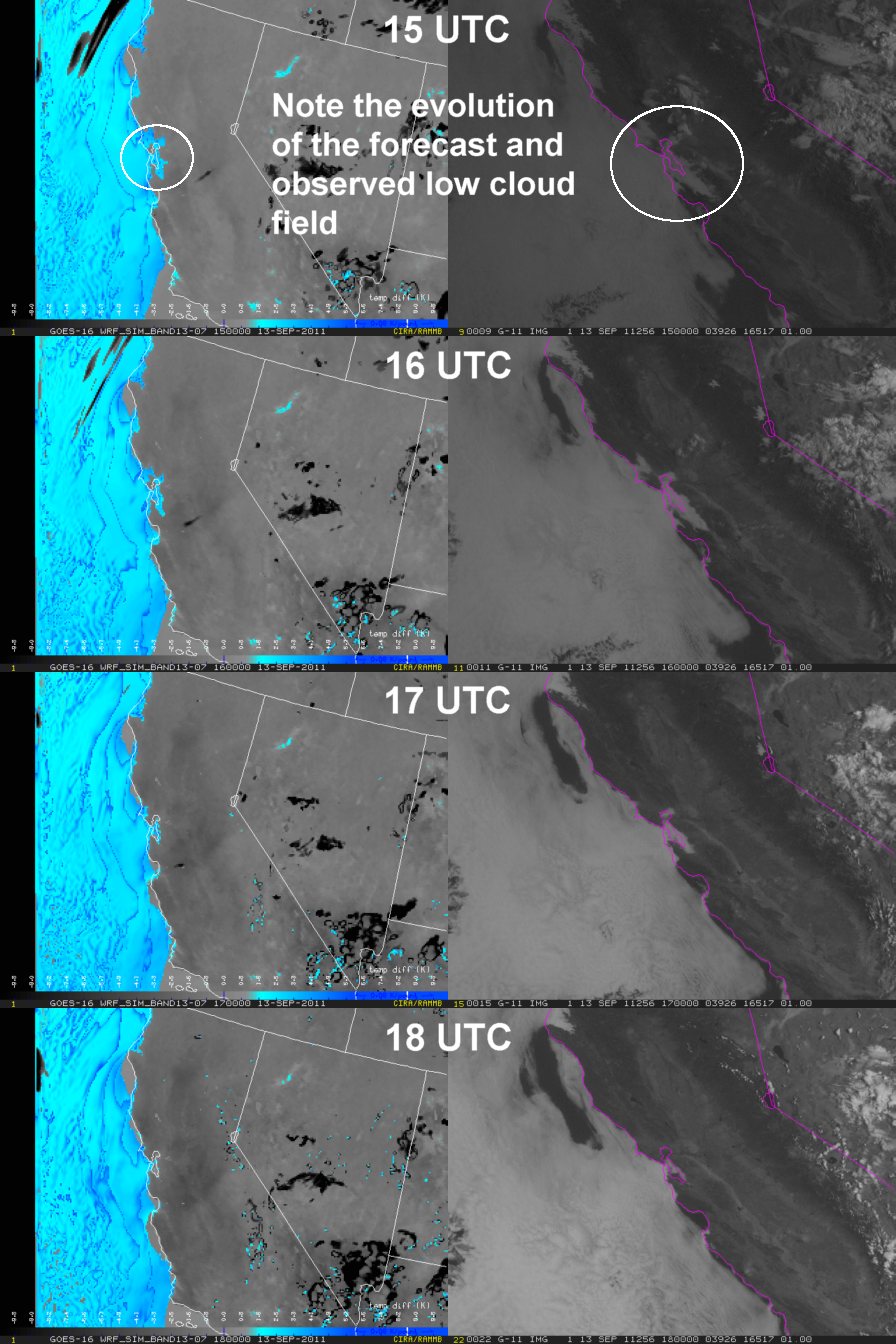
Synthetic Fog Product based on the 15- to 18-hour forecasts from the NSSL WRF-ARW (left), and GOES-11 Visible Imagery (right)
A new synthetic difference product is now being produced from the NSSL WRF-ARW output: the fog product, or 10.35 – 3.9 μm. In order to generate synthetic 3.9 μm imagery in a timely manner, it’s necessary to assume that it’s always night because the solar reflected calculations are too expensive. This allows the traditional fog product to be displayed for all forecast hours of the WRF. In the example above, the color scheme for the synthetic fog product (left) is designed such that grey into light blue represents increasing confidence in liquid water clouds. Note the forecast stratus clouds in the San Francisco Bay area, and compare that to the observed GOES-11 visible imagery on the right. The WRF-generated fog product forecast does a good job with the location and dissipation time of the low clouds. Such a forecast might be quite useful for the aviation industry given how often low clouds and fog cause delays at the West Coast airports.
