RAMMB: GOES-R Proving Ground Blog
Author:
Ed Szoke
More blowing dust with strong cold front on 11 March 2014
March 13, 2014
A look at the 16 Jan 2014 dust storm in eastern Colorado using VIIRS imagery
January 22, 2014
Fog and Low Clouds in Eastern Colorado as seen with GeoColor and Day Night Band NPP VIIRS imagery on 20 Dec 2013
January 22, 2014
Determining clouds from snow – an example from 5 Dec 2013
December 10, 2013
Synthetic imagery for the 3 Dec 2013 fog/low cloud case
December 6, 2013
Widespread Fog East of the Rockies – 3 Dec 2013
December 5, 2013
ORI product for 18-20 December 2010 massive California rain event
January 18, 2012
Low cloud/fog example from Boulder WFO case from AWIPS on 9 December 2010
January 7, 2012
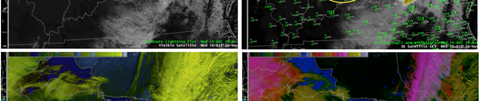
Cloud over snow example on 30 November 2011 from Buffalo WFO using MODIS imagery
January 6, 2012
Synthetic IR imagery showing fog/low clouds from BOU WFO on 8 November 2011
January 6, 2012
←
Previous Page
1
2
3
Next Page
→