Transverse bands on February 8, 2013
Transverse bands were observed between approximately 1400-1700 UTC in the vicinity of Buffalo, NY in the GOES water vapor imagery (from the CIMSS satellite blog):
and also in the GOES IR imagery:
Note the orientation of the transverse bands is approximately perpendicular to the winds at upper levels (350 mb wind direction and isotachs depicted here).
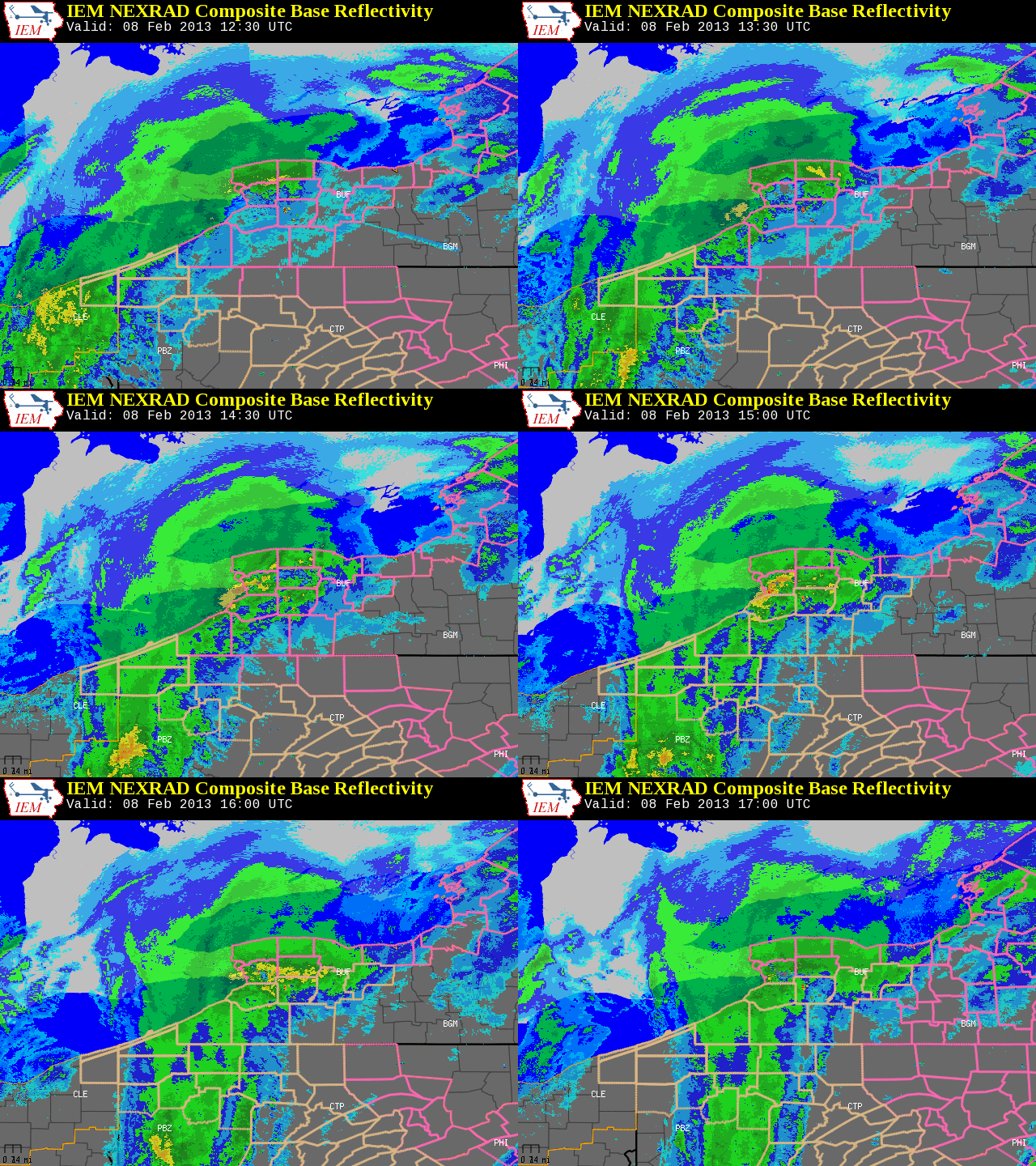
Snowfall rates were observed to be relatively high during the passage of these transverse bands, embedded within a shortwave that was causing snowfall as it was moving east:

The isotach analysis (shown in the GOES IR loop above) depicts these transverse bands to be within an upper-level jet, this is supported by a east-west cross section in the vicinity of Buffalo, NY:
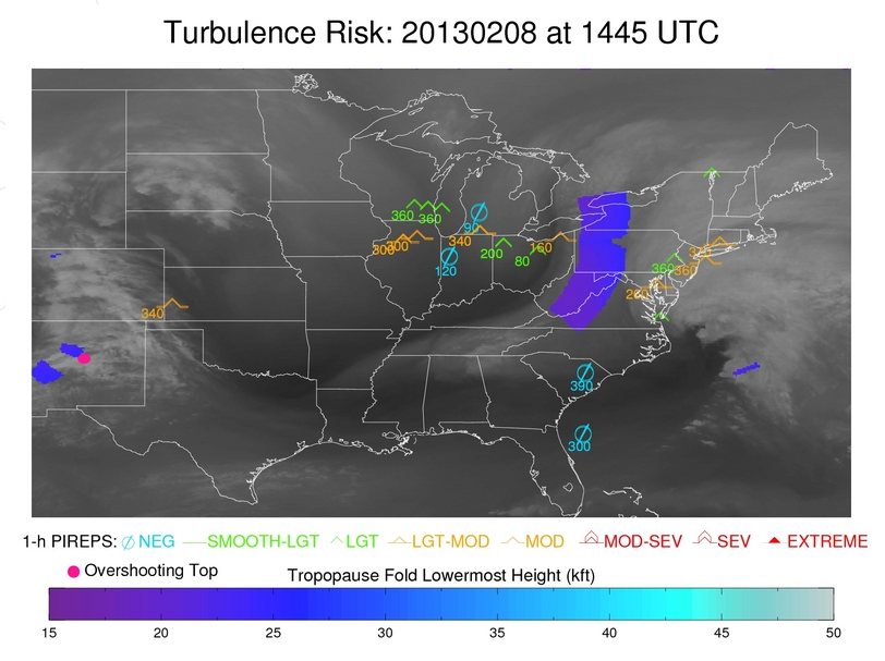
Note the gradient in wind speed across this jet streak, as wind speeds rapidly decrease in time. The CIMSS automated tropopause fold algorithm detected a tropopause fold around this time (and with that an associated risk of turbulence):

An interesting question is, how does synthetic imagery from two different models (but at the same horizontal grid spacing) depict these transverse bands? First, we’ll consider the 4-km NSSL WRF-ARW synthetic imagery (from the 0000 UTC 8 February 2013 model run):
The model has a semblance of transverse bands moving across Lake Erie at this time, with the trend of colder brightness temperatures expanding in time.
Next, we consider the 4-km NAM-Nest synthetic imagery (also from the 0000 UTC 8 February 2013 model run):
Your first impression may be that this smooths out the transverse bands, however, this is run at the same horizontal grid spacing (4-km) as the NSSL WRF-ARW model. One important difference between the two models is the microphysics scheme. The NSSL WRF-ARW model utilizes WSM6, while the NAM-Nest utilizes the Ferrier scheme. Note that the trend of increasing coverage of colder cloud tops is still present, but it smooths out any definition to transverse bands.
This example illustrates an important point, when analyzing synthetic imagery from a numerical model forecast it’s important to know which model you are looking at since clouds will appear different based on numerous factors, including microphysics schemes.
