14 March 2017 Blizzard
The GOES-16 data posted on this page are preliminary, non-operational data and are undergoing testing. Users bear all responsibility for inspecting the data prior to use and for the manner in which the data are utilized.
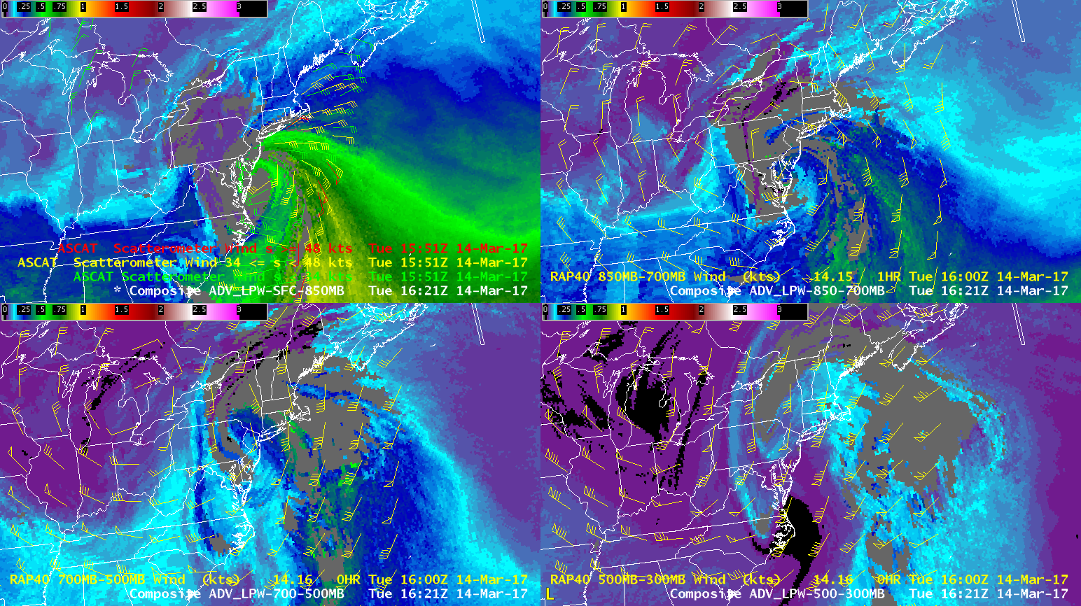
The 13-14 March 2017 blizzard that affected portions of the northeast can be viewed from a moisture perspective via the CIRA advected layer precipitable water (LPW) product:
The loop shows the rapid advection of moisture northward from the Gulf of Mexico and off the southeast US coast. Once the low started to deepen rapidly, moisture convergence also contributed to increasing moisture through a deep layer.
An overlay of winds (ASCAT surface winds over the sfc – 850 mb layer, and RAP model winds for their respective layers in the other panels):
gives an idea of the wind at different levels to readily identify moisture source regions.
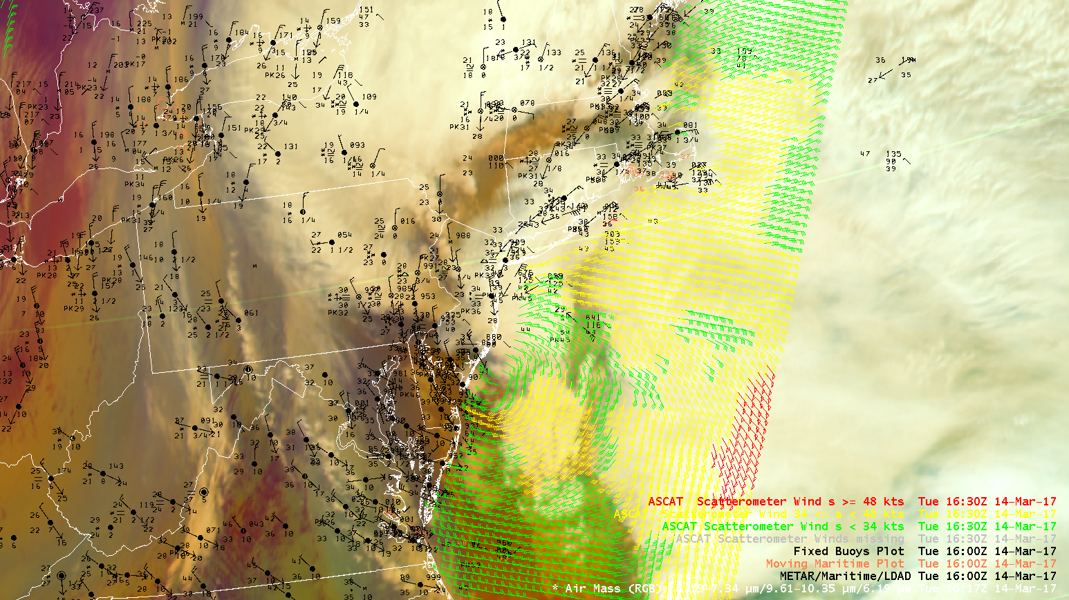
A closer look at the ASCAT wind pass overlaid with the RGB airmass product and surface observations clearly shows the circulation around the surface low:
Finally, GOES-16 1-minute visible imagery over the Washington DC vicinity provides a spectacular view of gravity waves that exist at many spatial/temporal scales:


