Early season lake-effect showers on 25 October 2017
The GOES-16 data posted on this page are preliminary, non-operational data and are undergoing testing. Users bear all responsibility for inspecting the data prior to use and for the manner in which the data are utilized.
Cold advection over the relatively warm waters of the Great Lakes resulted in bands of showers across the Great Lakes as seen in the GOES-16 Daytime cloud phase distinction RGB:
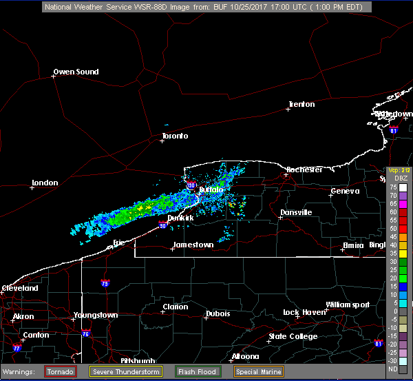
This RGB product makes use of the 1.6 micron band which will highlight glaciation, as well as the 10.3 micron band which highlights cloud top temperature. Note how well it depicts the lake-effect band over Lake Erie since it can discriminate between glaciated clouds versus non-glaciated clouds, as well as the cloud top temperature differences from the 10.3 micron band contribution. In this case, temperatures are too warm for snow therefore the precipitation was in the form of rain. Note the appearance of the band from the Buffalo WSR-88D:

