Early Morning Fog in Colorado
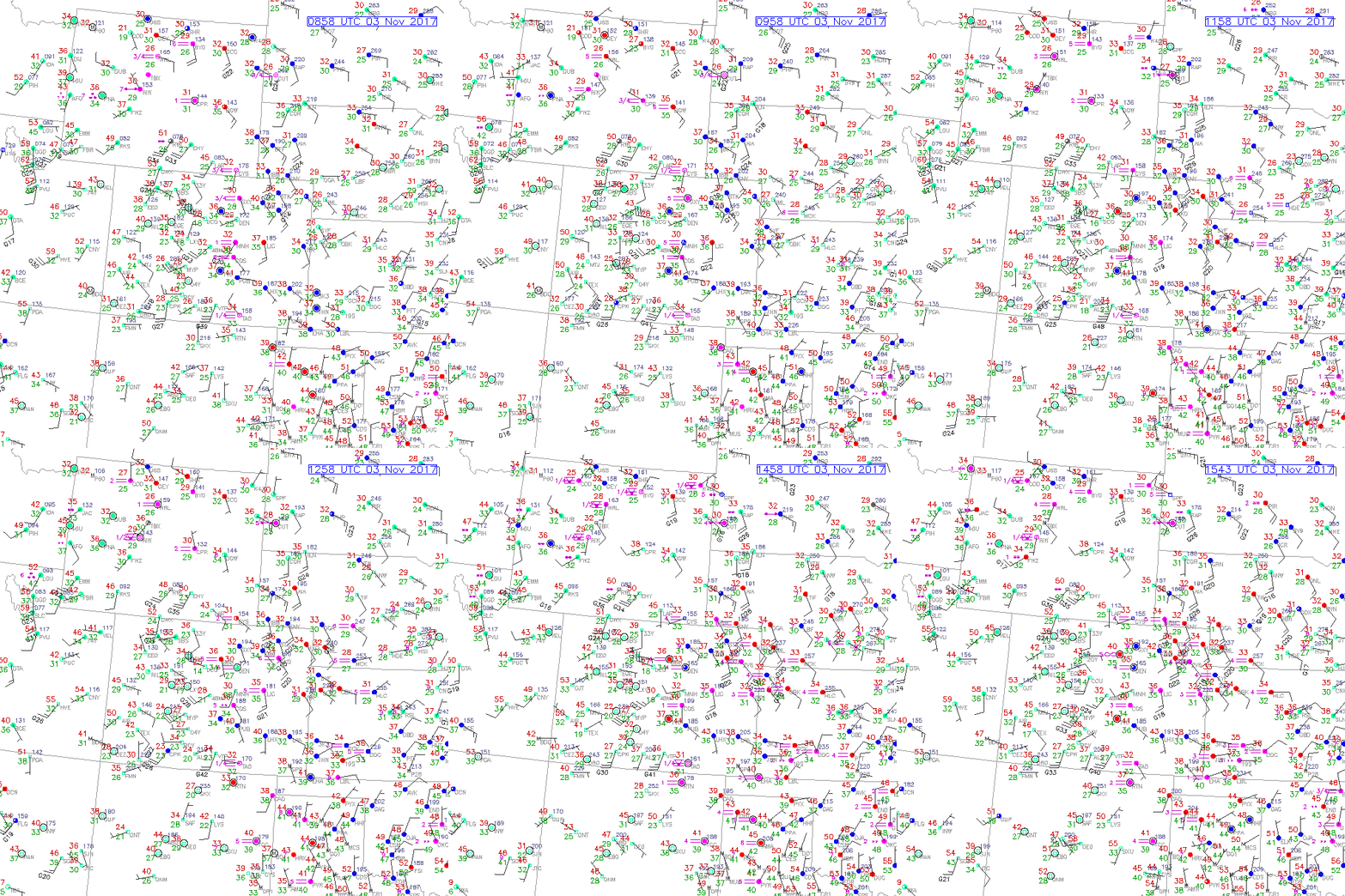
Early this morning, 3 November 2017, the Colorado Front Range was inundated with fog and low stratus clouds. Fog persisted for several hours this morning. Below is an animation of the fog along the Front Range of Colorado via the ‘RAP Real-Time’ surface observations website, between 08-15Z. As a quick reminder, foggy areas are identified via pink, parallel, horizontal lines, sandwiched in-between the air temperature (red) and corresponding dew-point (green) values.

In complement to the surface observations, static satellite observations can be used to identify the fog/low stratus clouds via the Day/Night Band (DNB) product and the 10.7um -3.7um brightness temperature difference product. Static satellite observations were taken during the early morning hours, 3 November 2017, @ 0903Z (0303Z local time).
Day/Night Band (DNB) (0.7um)
The DNB provides the illumination of atmospheric features, senses emitted and reflected light sources and assists with cloud monitoring during the nighttime. The DNB image below, taken during the full moon stage of the lunar cycle, shows features over the state of Colorado. Dendritic snow patterns via reflected moonlight are seen in Central Colorado highlighting the location of the Rocky Mountains, with clouds to the east and west. Emitted city lights are also seen under the cloud cover, seen via bright clusters along the Front Range.

M15 (10.7um) – M12 (3.74um) brightness temperature difference
In complement to the DNB, one can utilize the brightness temperature difference between the VIIRS M15-M12, which can assist in identifying which clouds are liquid water clouds, (in this case, fog/low stratus clouds seen as positive, blue values) in comparison to ice clouds (seen as negative, black values). The range of temperature values are displayed from -10 to +10 degrees Kelvin. The validation of the liquid water clouds along the Front Range, complements the surface observations that observed fog/low stratus clouds at this particular point in time (~9Z).

