CIRA Snow/Cloud Layer Product & VIIRS observations of the 12 Feb 2020 Blowing Snow Event
By Ed Szoke and Jorel Torres
On 12 Feb 2020 a strong cold front pushed southward across the Northern Plains and Midwest bringing dramatically colder temperatures and howling northerly winds, creating widespread blowing snow and blizzard conditions during the daytime hours of 12 Feb. While dramatic, such conditions are not unusual for the Northern Plains, where forecasters have noticed that such widespread blowing snow actually appears in GOES-16/17 in some of the bands and RGB products. For this case there are two excellent blogs out there on this event: one from Carl Jones of the Grand Forks, North Dakota WFO at https://satelliteliaisonblog.com/2020/02/13/arctic-cold-front-blizzard-feb-12-2020/ , the other by Scott Bachmeier of CIMSS at https://cimss.ssec.wisc.edu/satellite-blog/archives/35635.
Here we add to their excellent insight with a look at a couple of other satellite products. One is the CIRA Snow/Cloud Layer Product, an RGB product that discriminates snow from clouds, but unlike other RGBs the snow appears as white.

Here is a loop of the CIRA Snow/Cloud Layer Product along with a zoomed-in loop of the blowing snow by the Day Snow-Fog RGB from 15-21Z, on 12 Feb 2020.
Here is a METAR time series for Grand Forks, ND. The cold front comes by in the early hours of 12 Feb followed by a period of light snow and howling northerly winds. By daybreak the clouds had cleared with visibilities quite low in the widespread blowing snow.

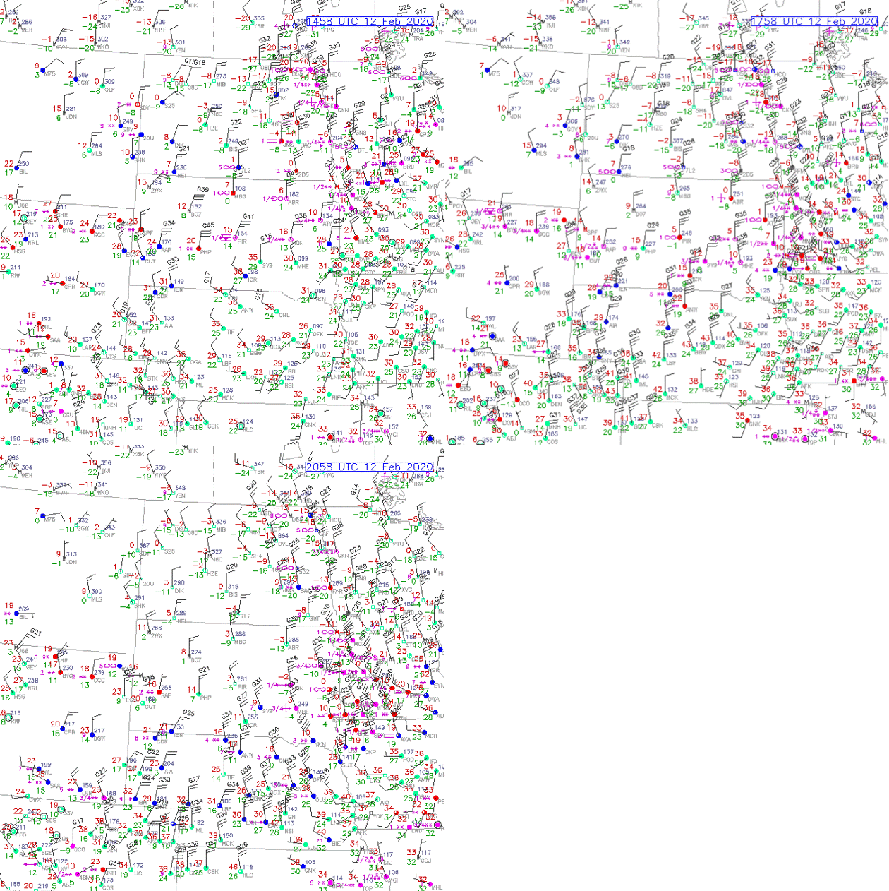
Corresponding animation of surface observations, from 15-21Z, 12 Feb 2020, can be seen below as well.

As noted in the two blogs referenced earlier, we are likely able to see the blowing snow from the snow cover because the blowing snow has smaller sized crystals with different reflectance properties, making it appear differently from the underlying snow in Band 5, which contributes to the two RGB products previously shown.
In addition to the high temporal refresh rate from GOES imagery, polar-orbiting satellites from JPSS can provide observations of surface features at high spatial resolution, in this case, blowing snow. Polar-orbiting satellites, SNPP and NOAA-20 contain the VIIRS instrument, comprising 22 spectral channels that exhibit 375-m and 750-m spatial resolutions.
The 1.6µm channel from NOAA-20 VIIRS (I-3) and the GOES 1.6µm (Band 5, previously mentioned above) are known for discriminating cloud phase: liquid water clouds (reflect at 1.6µm) versus ice clouds (absorb at 1.6µm). The 1.6µm spectral channel can also provide land/water contrast in the imagery, depict snow cover (i.e. black colors, since snow absorbs rather than reflects at 1.6µm) and observe blowing snow (i.e. greyish-white colors exhibiting varying reflective properties compared to snow cover).The main difference between GOES 1.6µm and NOAA-20 VIIRS 1.6µm is the spatial resolution: 1-km compared to 375-m, respectively. NOAA-20 VIIRS imagery, below, observes blowing snow at 1815Z, 12 Feb 2020.

Although polar-orbiters have a coarser temporal resolution compared to GOES, there were three polar-orbiting overpasses that observed the blowing snow event; 2 from NOAA-20, and 1 from SNPP. See video below; notice how blowing snow moves to the south throughout the animation. Observations were taken between 1815Z-1951Z, 12 Feb 2020.
