
New AWIPS Geocolor Testing
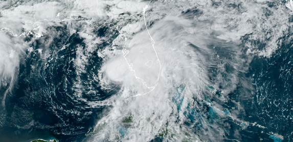
B Line and D Molenar worked with the TOWR-S team to install a new process for CIRA Geocolor creation and display in CIRA AWIPS. The new method reduces internet bandwidth, creates the full resolution Geocolor product, and allows for viewing of Geocolor in all GOES sectors. The process is being tested at CIRA, and feedback provided back to the TOWR-S team. This new AWIPS Geocolor method will soon be applied to NWS AWIPS. See Figure below. (POC: B. Line, CoRP/RAMMB; D. Molenar, CIRA, bill.line@noaa.gov, Debra.Molenar@colostate.edu) Funding: PDRA
Download Weekly Report (PDF)Posted on: July 9, 2021
Page Contact
Unless otherwise noted, all content on the CIRA RAMMB: VISIT, SHyMet and VLab webpages are released under a Creative Commons Attribution 3.0 License.